This page offers a simplified presentation of results designed for low bandwidth connections. If you prefer more sophisticated query options and result presentation, please follow this link to the standard interface.
Available datasets:
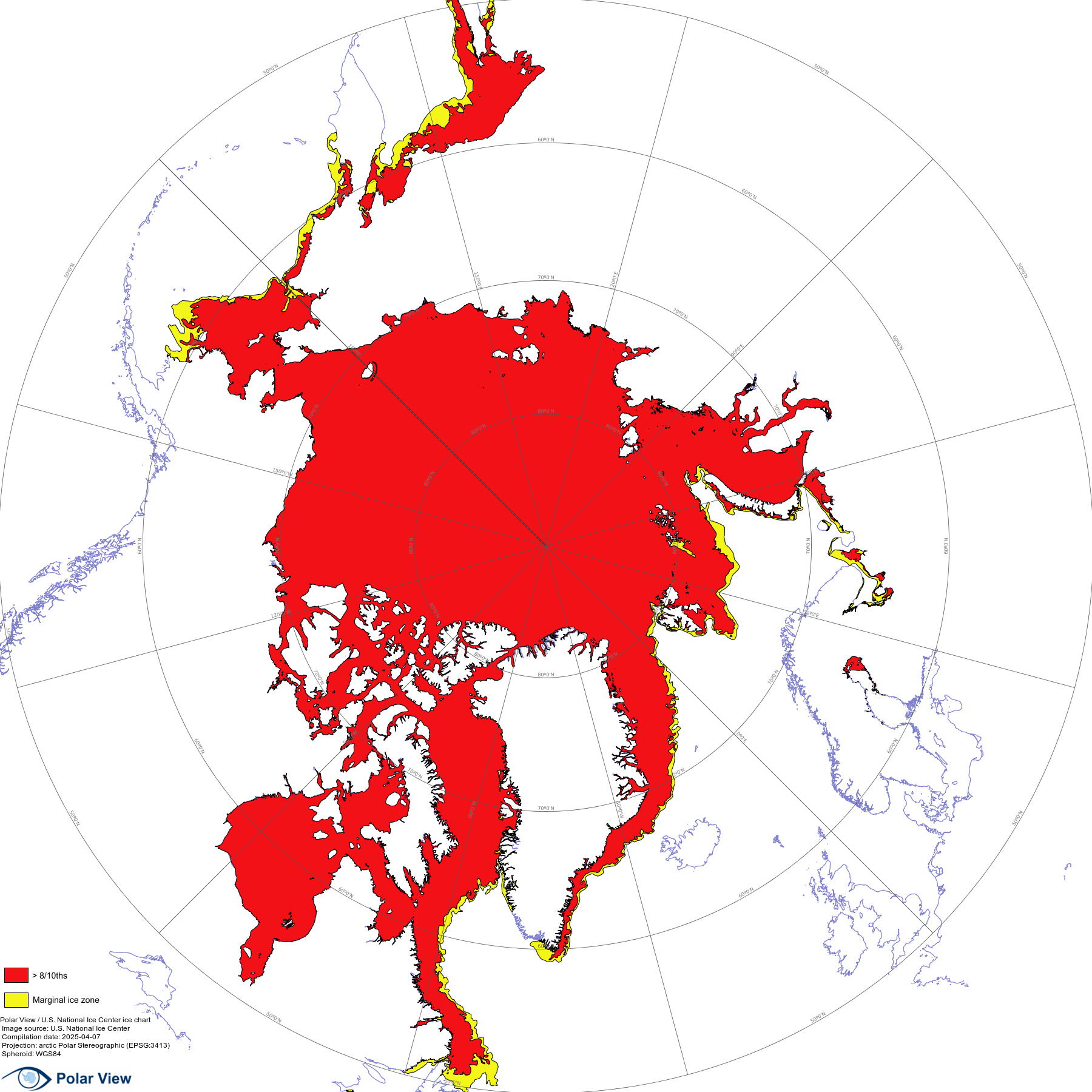
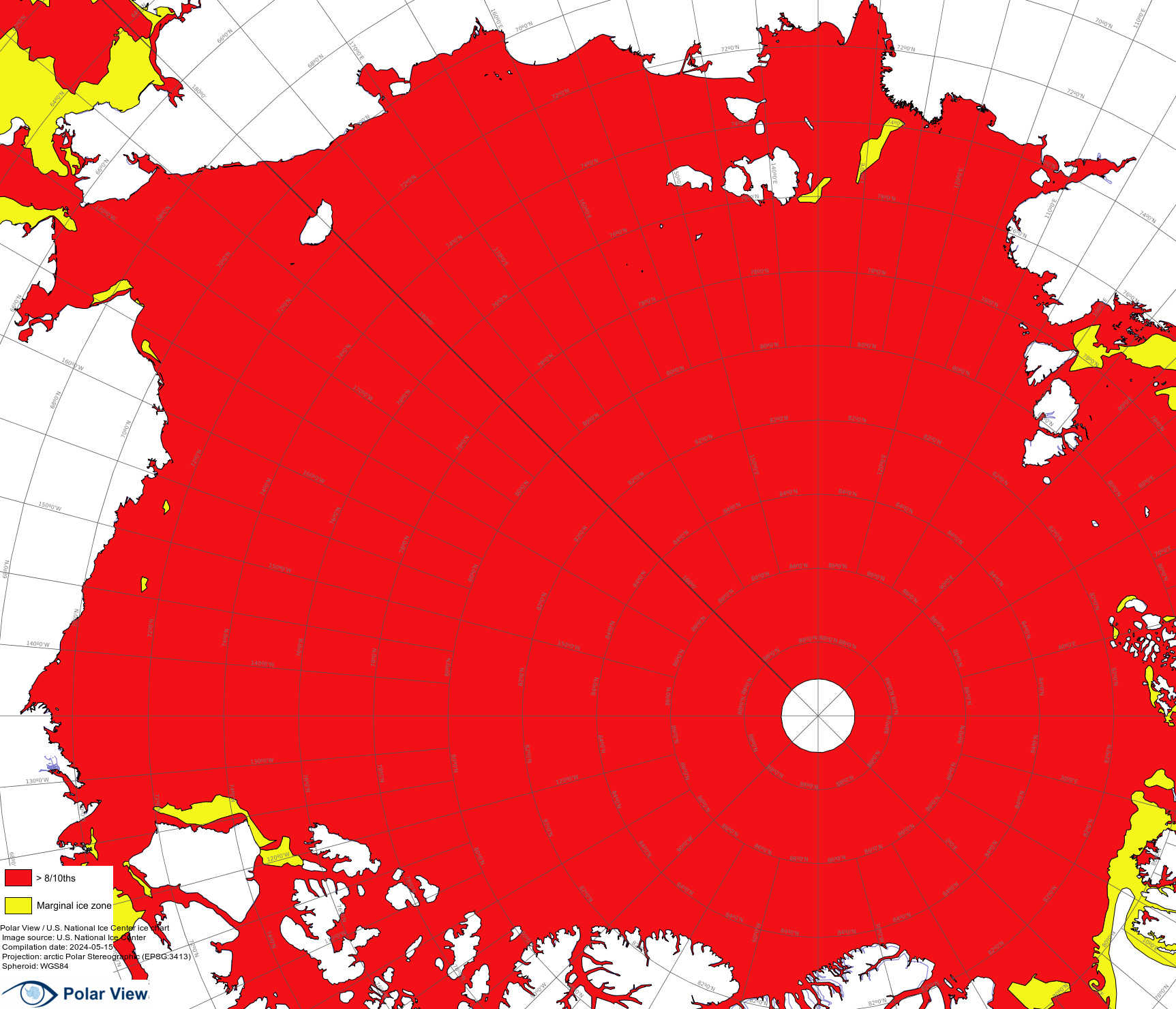
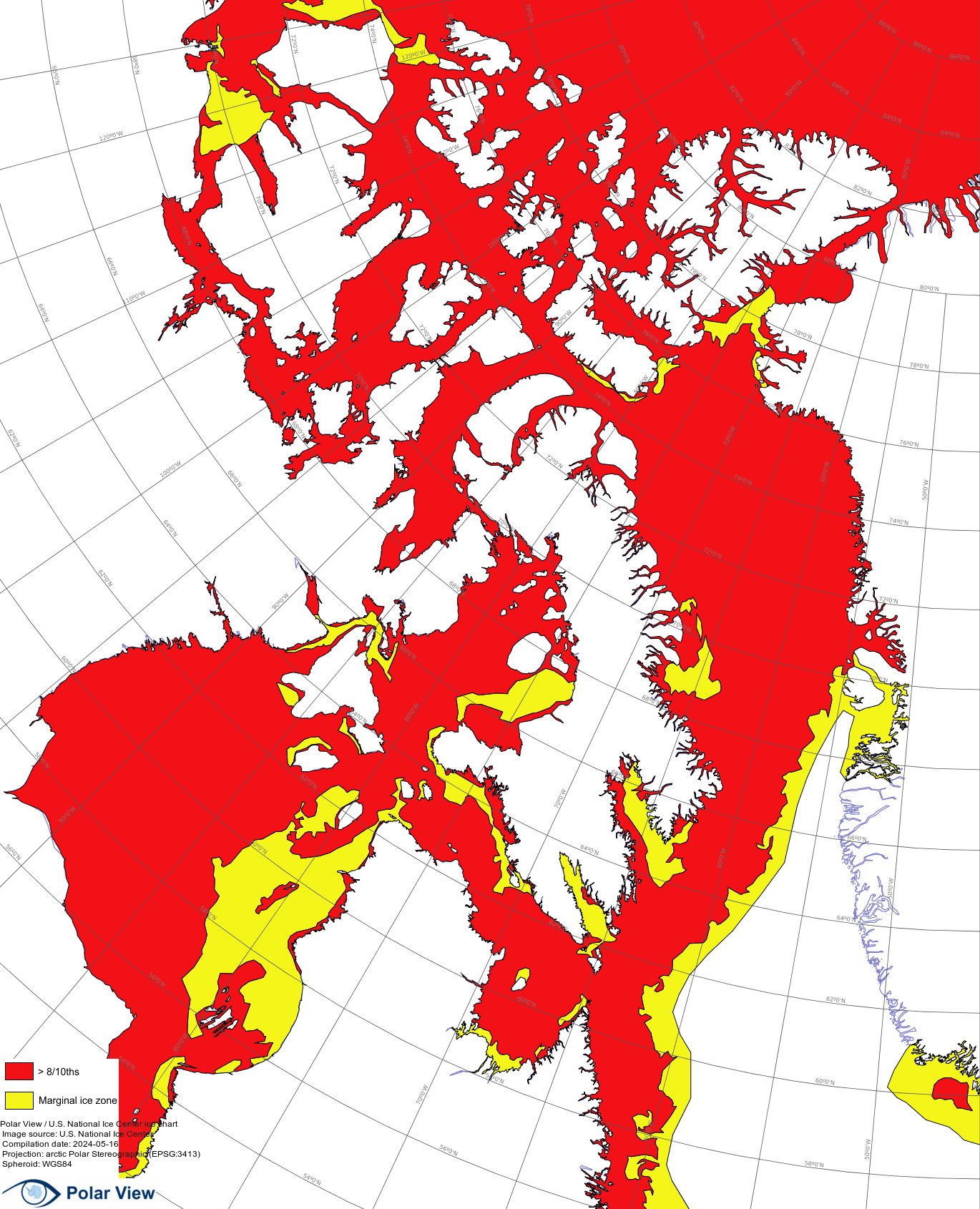
Ice chart issue date: 2024-04-29
| Area | Preview | Get data.. | ||||||||||
|---|---|---|---|---|---|---|---|---|---|---|---|---|
| Arctic | 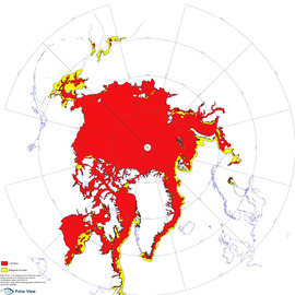 |
|
||||||||||
| Arctic Ocean | 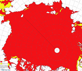 |
|
||||||||||
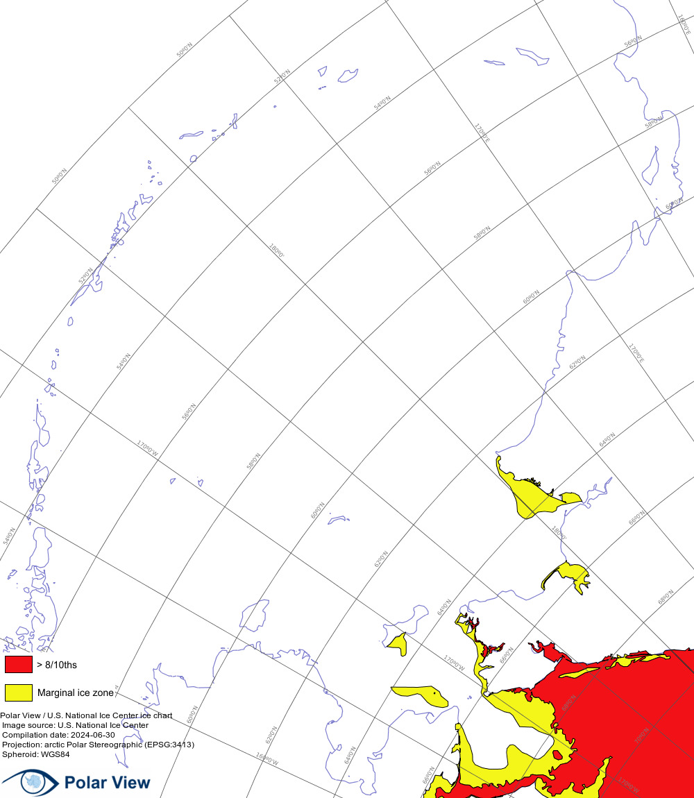
| North Atlantic | 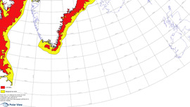 |
|
||||||||||
| Baffin and Hudon Bay | 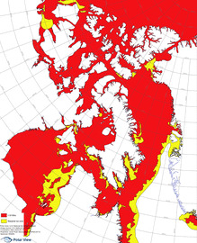 |
|
||||||||||
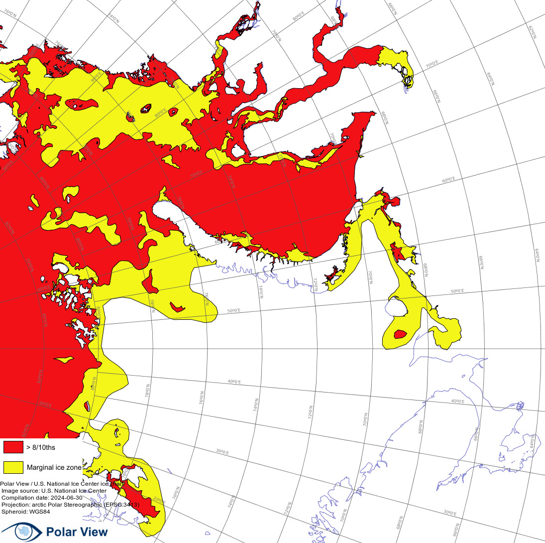
| Barents and Kara Sea | 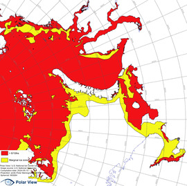 |
|
||||||||||
| Bering Sea | 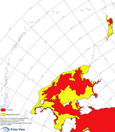 |
|
||||||||||
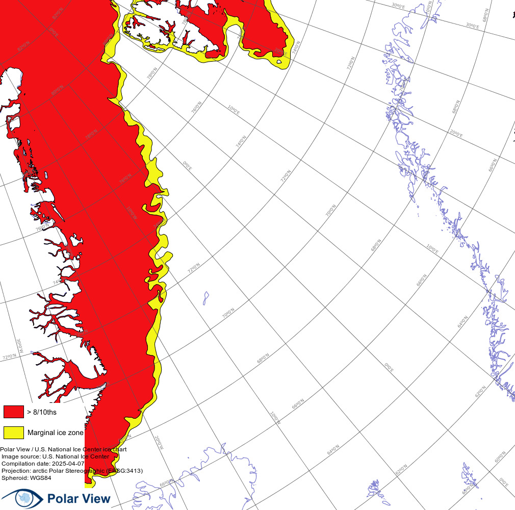
| Greenland and Norwegian Sea | 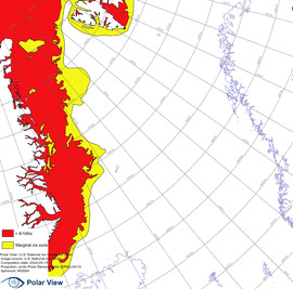 |
|
||||||||||
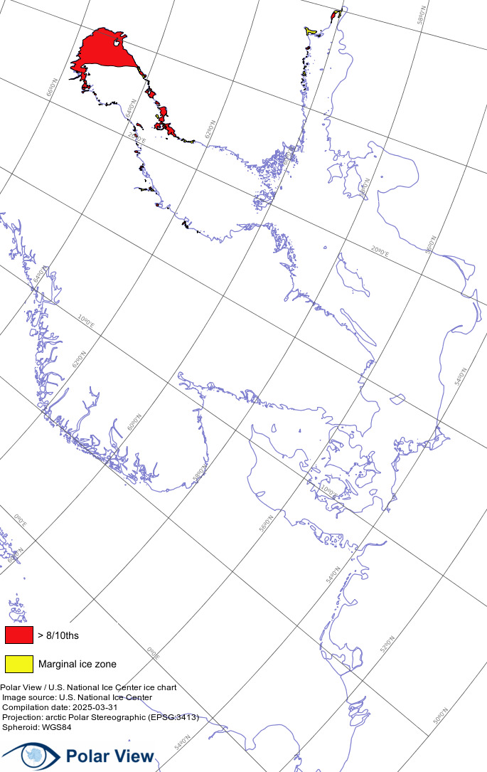
| North and Baltic Sea | 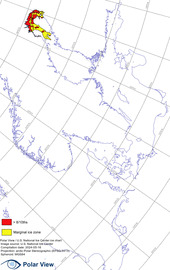 |
|
||||||||||
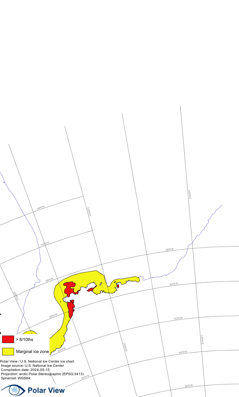
| Sea of Okhotsk | 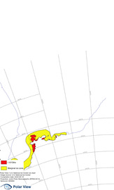 |
|