This page offers a simplified presentation of results designed for low bandwidth connections. If you prefer more sophisticated query options and result presentation, please follow this link to the standard interface.
Available datasets:
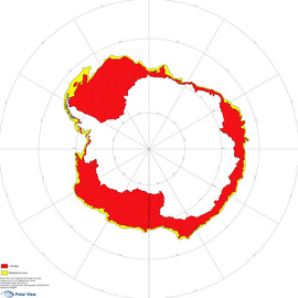
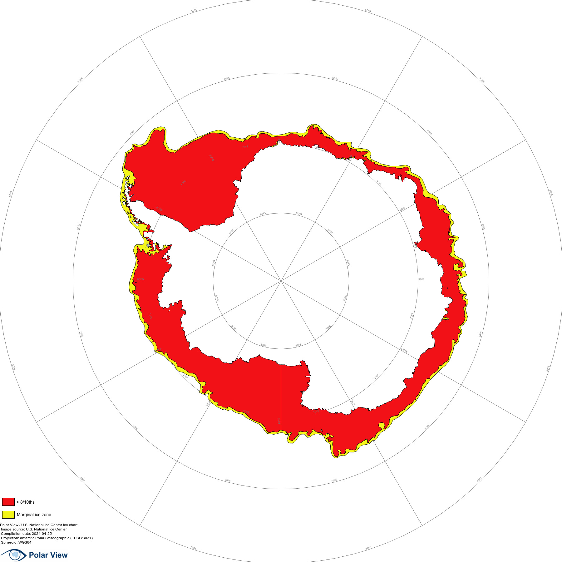
Ice chart issue date: 2026-07-27
| Area | Preview | Get data.. | ||||||||||
|---|---|---|---|---|---|---|---|---|---|---|---|---|
| Antarctica |
|
|
||||||||||
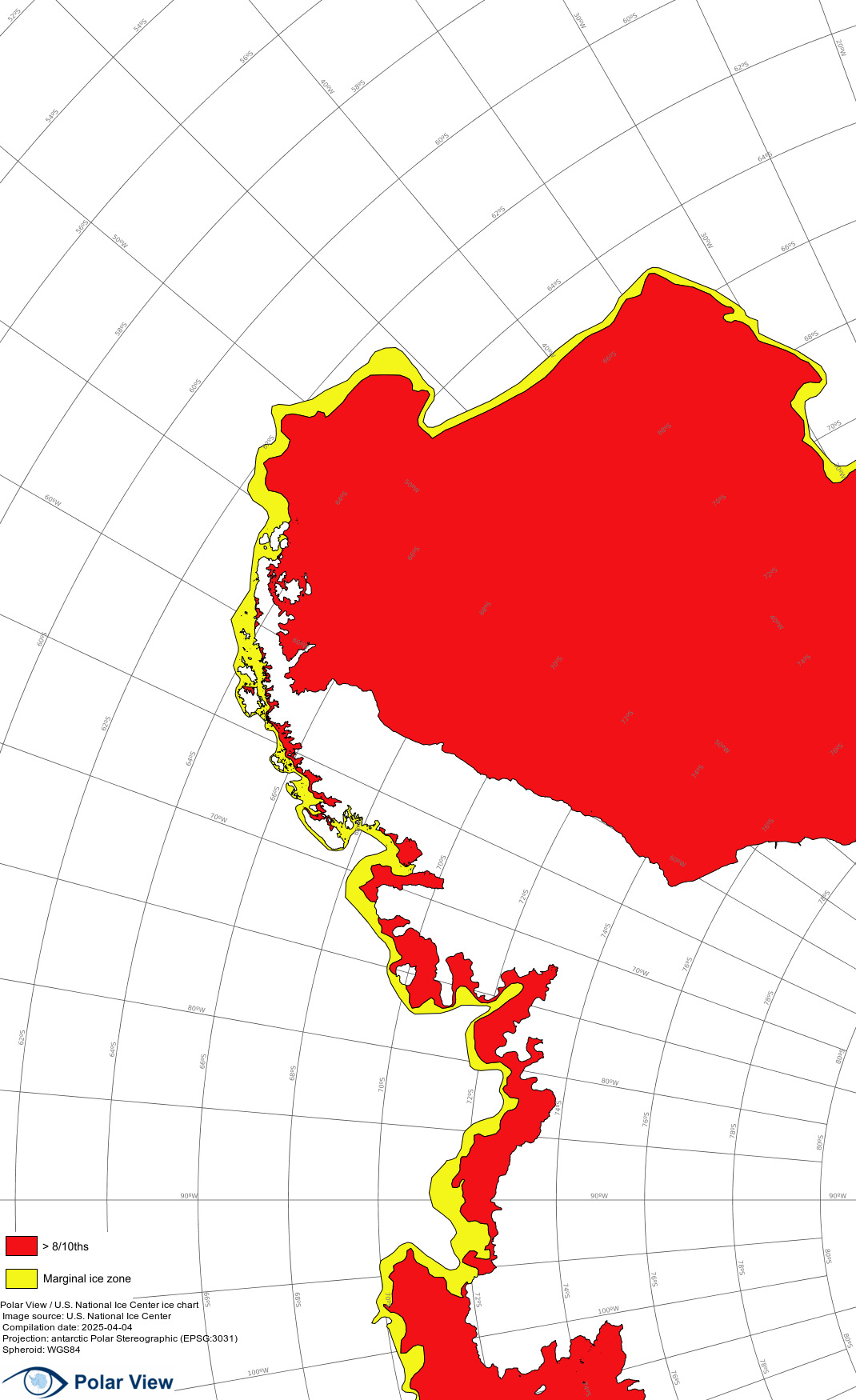
| Antarctic Peninsula | 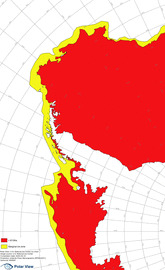 |
|
||||||||||
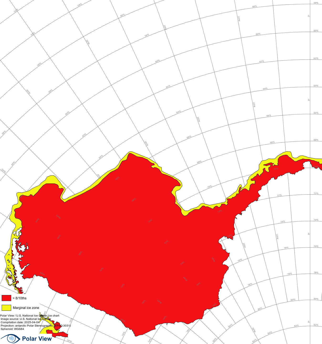
| Weddell Sea | 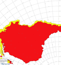 |
|
||||||||||
| South Atlantic | 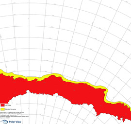 |
|
||||||||||
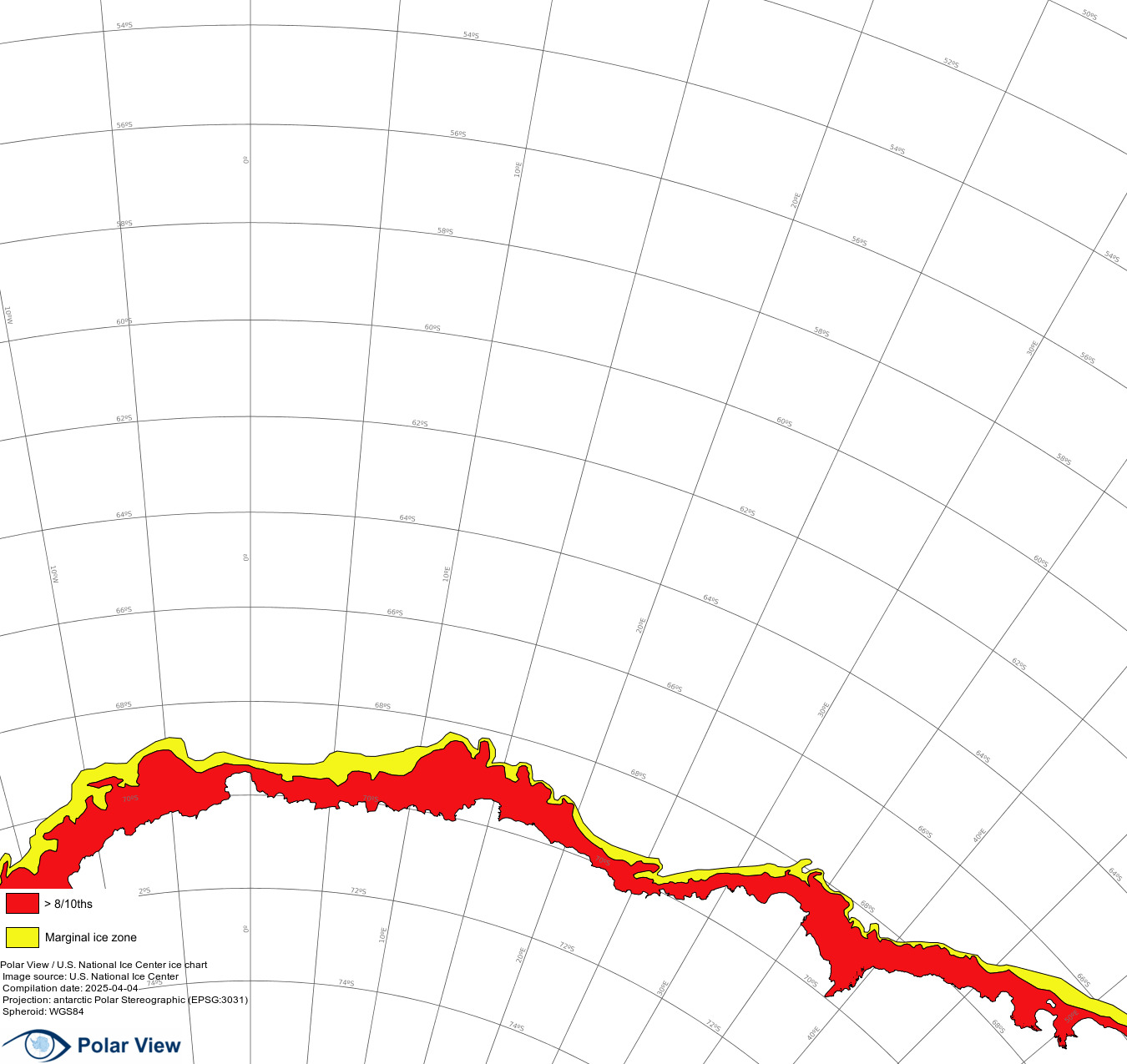
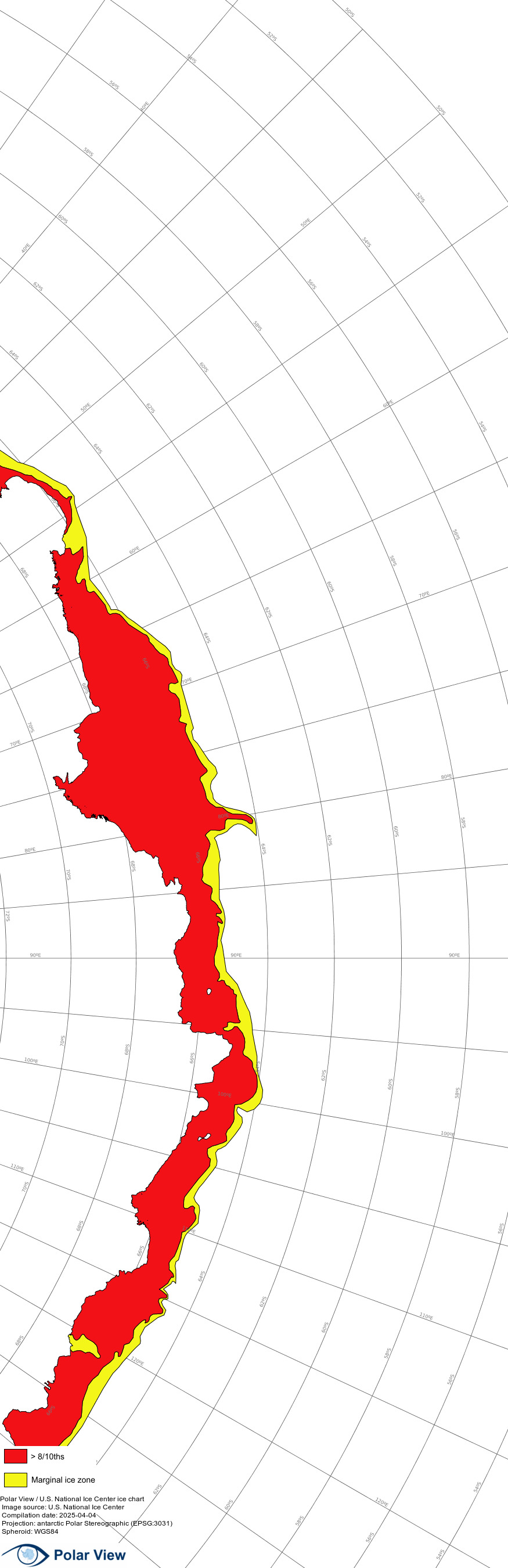
| South Indian Ocean | 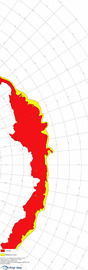 |
|
||||||||||
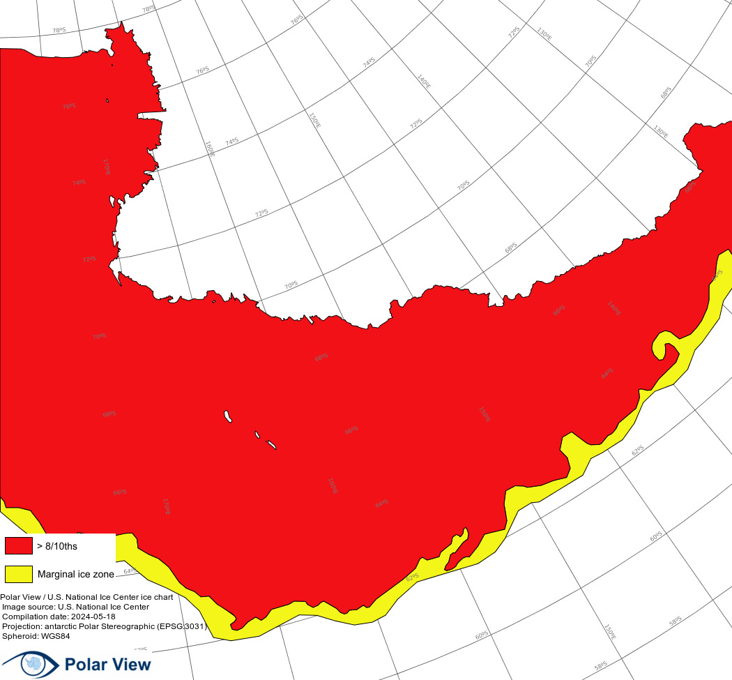
| Ross Sea West | 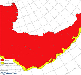 |
|
||||||||||
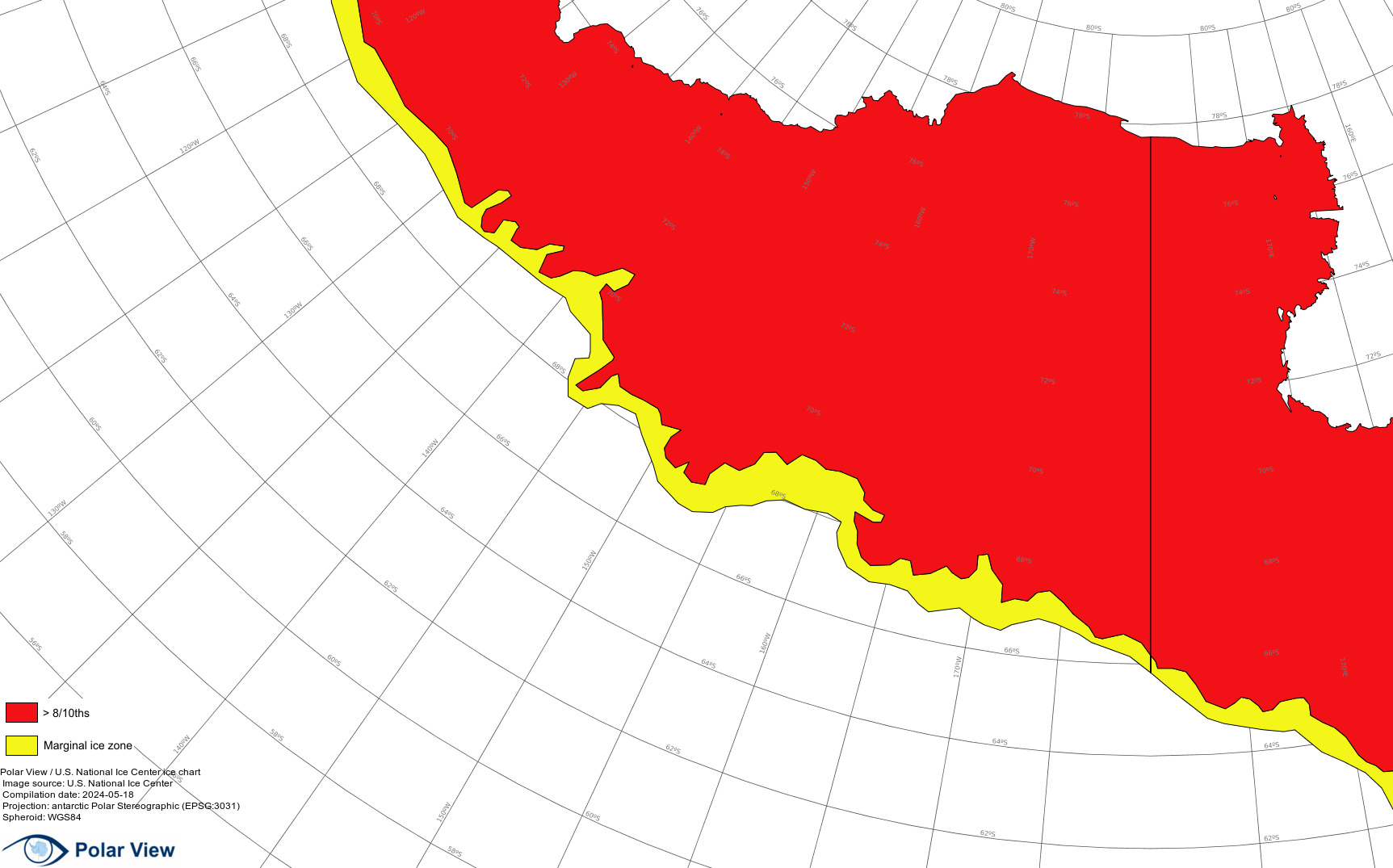
| Ross Sea East | 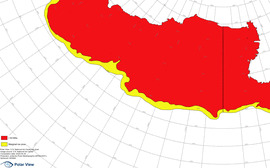 |
|
||||||||||
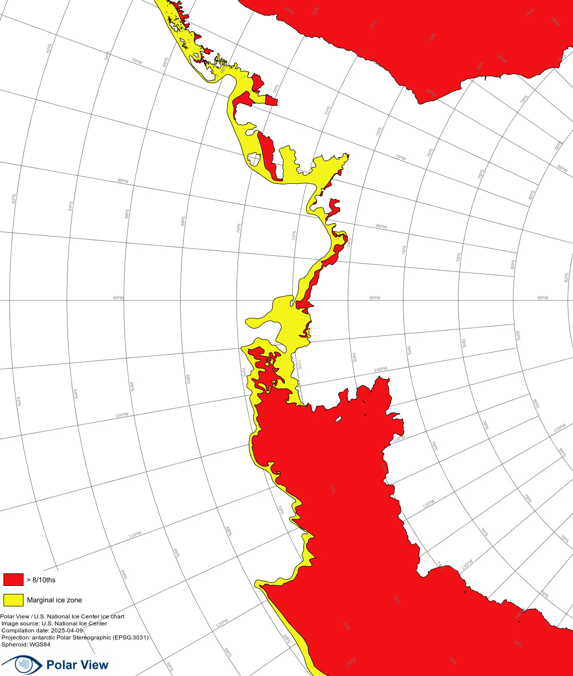
| Bellingshausen and Amundsen Sea | 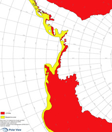 |
|